Remote Sensing for the future of Precision Agriculture
Global Agricultural Monitoring Networks
Interconnected drone and satellite systems create real-time global agricultural monitoring, enabling data-driven decisions across borders and facilitating global food security through comprehensive crop health tracking and resource optimization.
Quantum-Enhanced Predictive Modeling
Advanced quantum computing systems process vast agricultural datasets to predict climate patterns, disease outbreaks, and optimal growing conditions, enabling farmers to make precise decisions in advance through sophisticated ML algorithms.
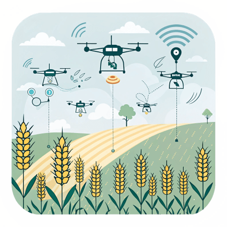
Intelligent Drones
Swarm of Autonomous agricultural drones combine GPS navigation, sensor arrays, and AI processing with weather-resistant hardware, enabling automated flight patterns and real-time data collection for precision farming applications.
Satellite Sensing
Periodic collection of data from satellites that gives us detailed crop monitoring and analysis through high-resolution imaging and specialized sensors.
Weather Forecast
Weather information enables to optimize planting schedules, predict crop stress, adjust irrigation timing
Multispectral Imagery
Multispectral imagery enables farmers to assess crop health, detect early signs of stress, identify nutrient deficiencies, and monitor growth patterns
Historical Data
Historical data serves as a foundation for remote sensing analysis by establishing baseline conditions, allowing comparison of current observations against past patterns, and enabling the detection of subtle changes in different parameters